Legacy Product
MapBuilder™
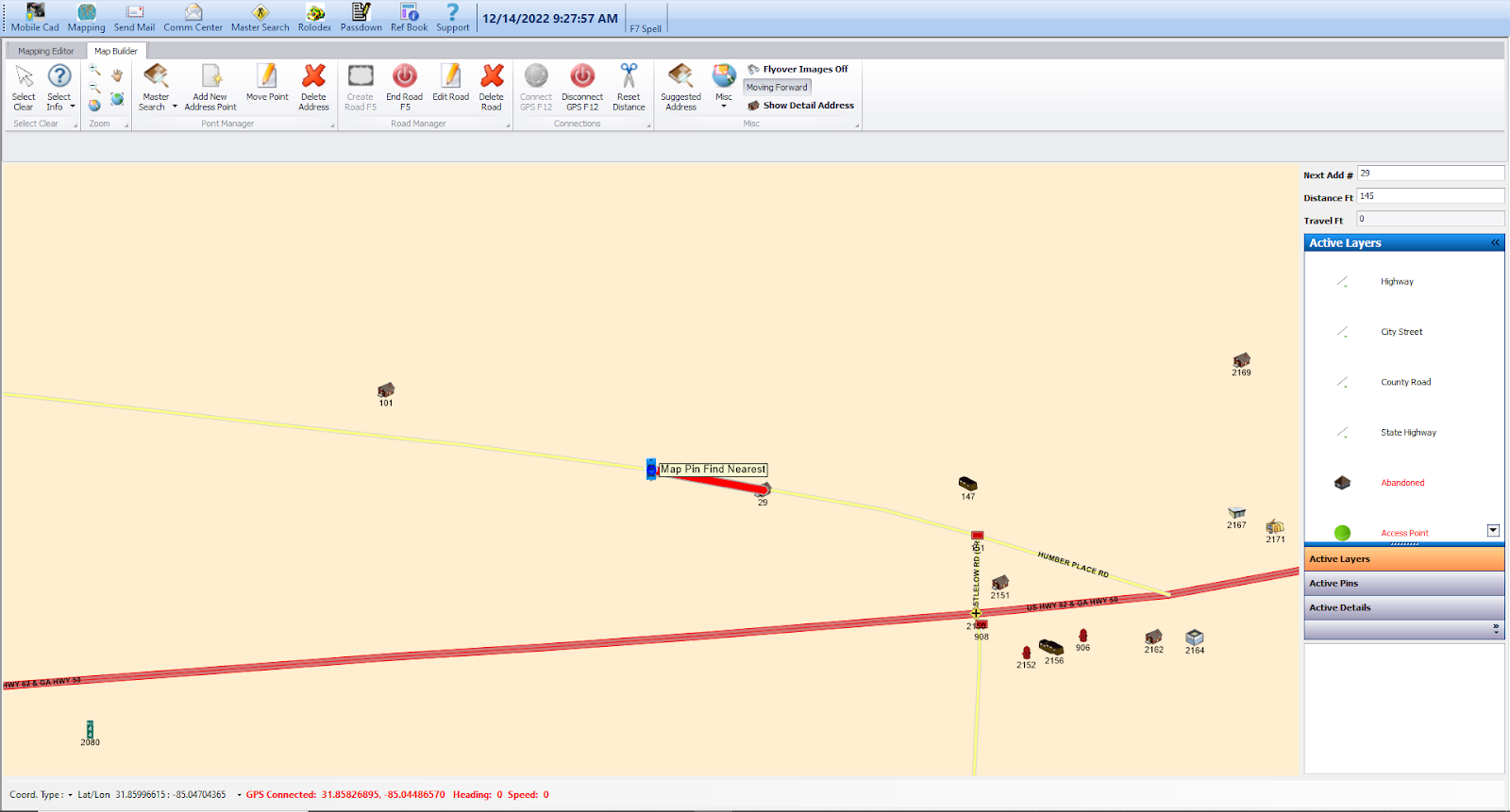
The foundation of any 9-1-1 system starts with your mapping database and the first step in creating the database starts with address collection and field verification. You begin by driving the roads within your County, and the addresses are automatically collected with a Latitude/Longitude point. Your data layers will include street centerlines, address points and addressed structures, jurisdictional boundaries (city, county, police beats, response zones), emergency services number zones (ESN boundaries), fire hydrants, intersections, points of interest and reference data, cell towers, water sources (rivers, lakes), railroad crossings, and mile markers – basically any data that you need to capture.
Ryzyliant MapBuilder™ is designed to make post data-gathering updates a breeze. With intuitive features allowing the user to move points and edit the address database, MapBuilder gives you peace of mind — no matter what changes occur, that your addressing database is always up-to-date and accurate.
Always know where you are
Benefits at a glance
- Instant Updates
- Quality Control
- Easy Data Transfer